Township at Mangalore
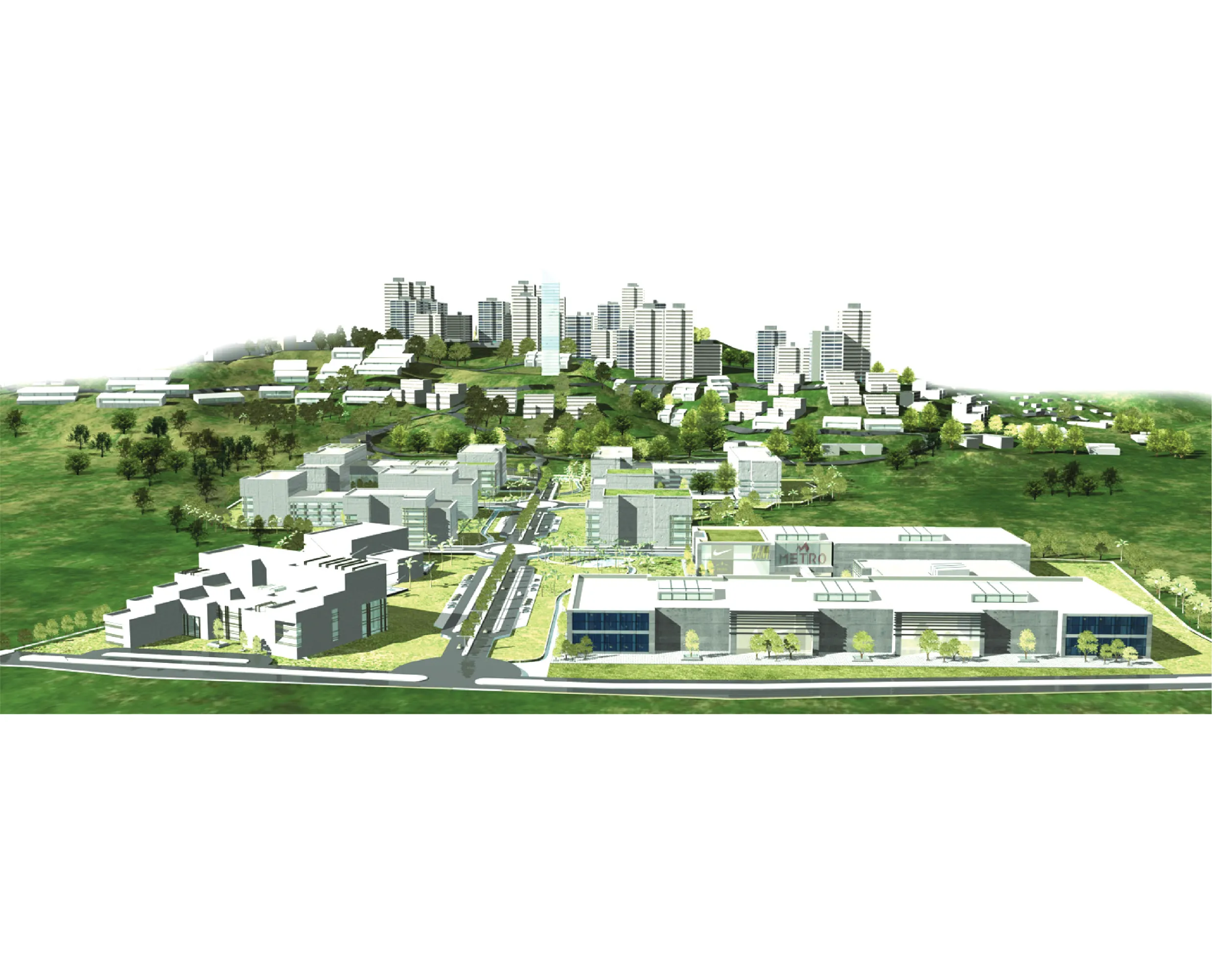
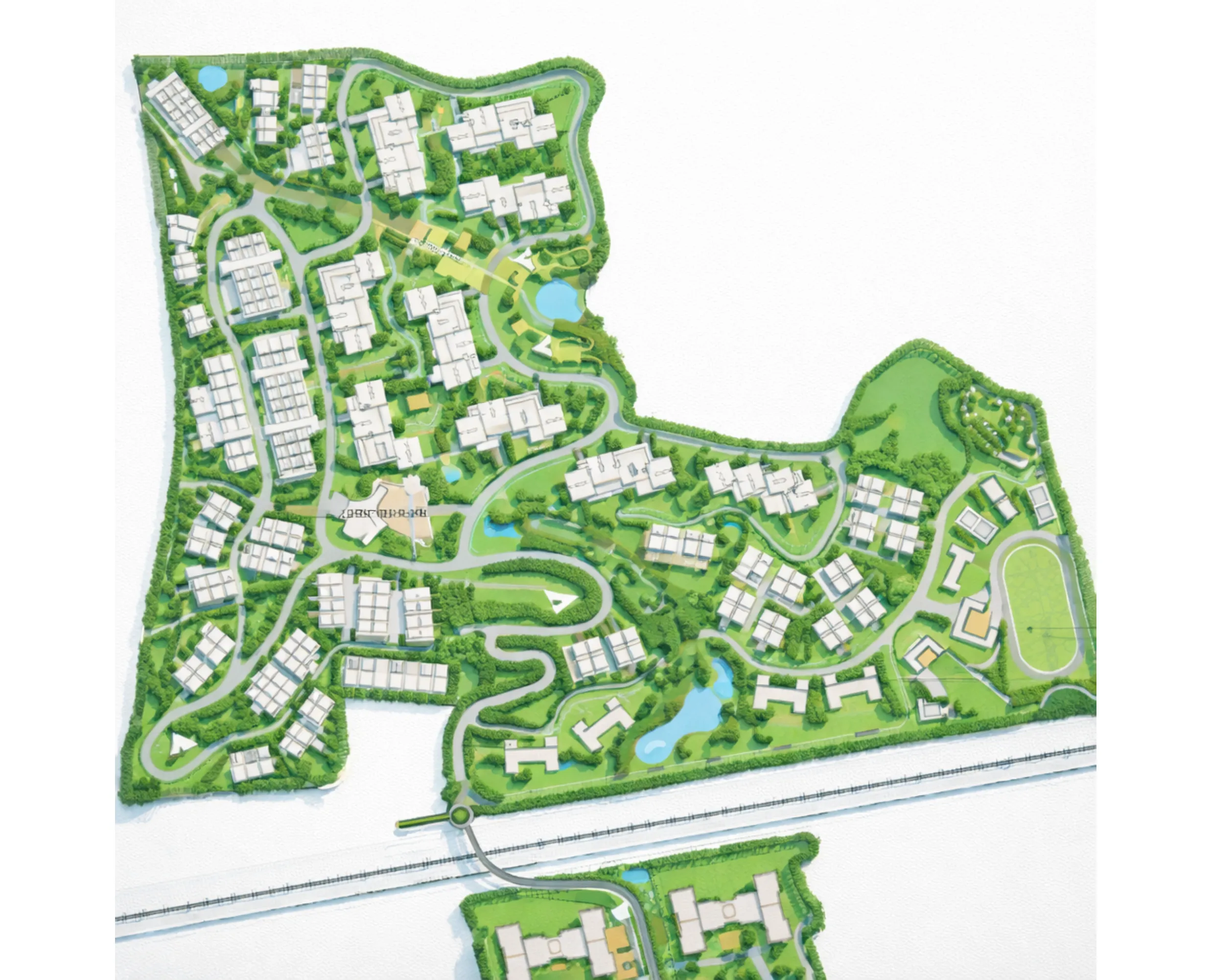
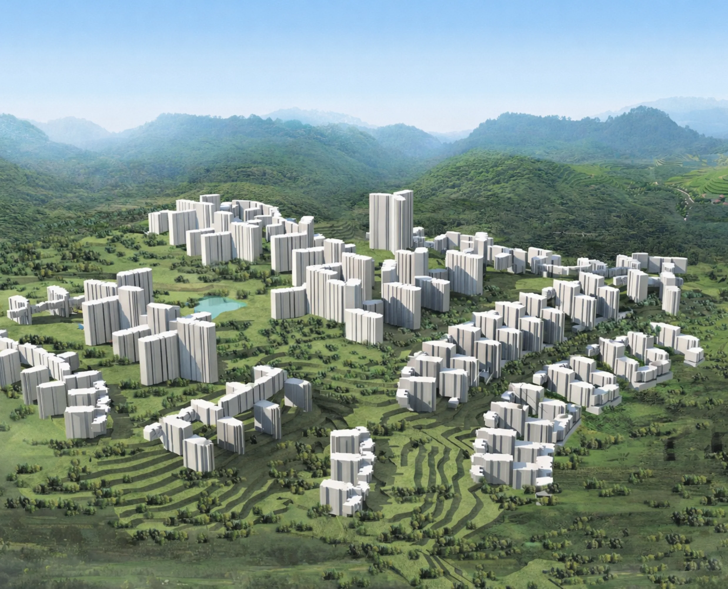
The project was developed through an innovative model of land development with the Mangalore Development Authority. The proposed comprehensive master plan spans 120 Ha., for a projected population of 30,000 and 14 million sq. ft. of built-up area.
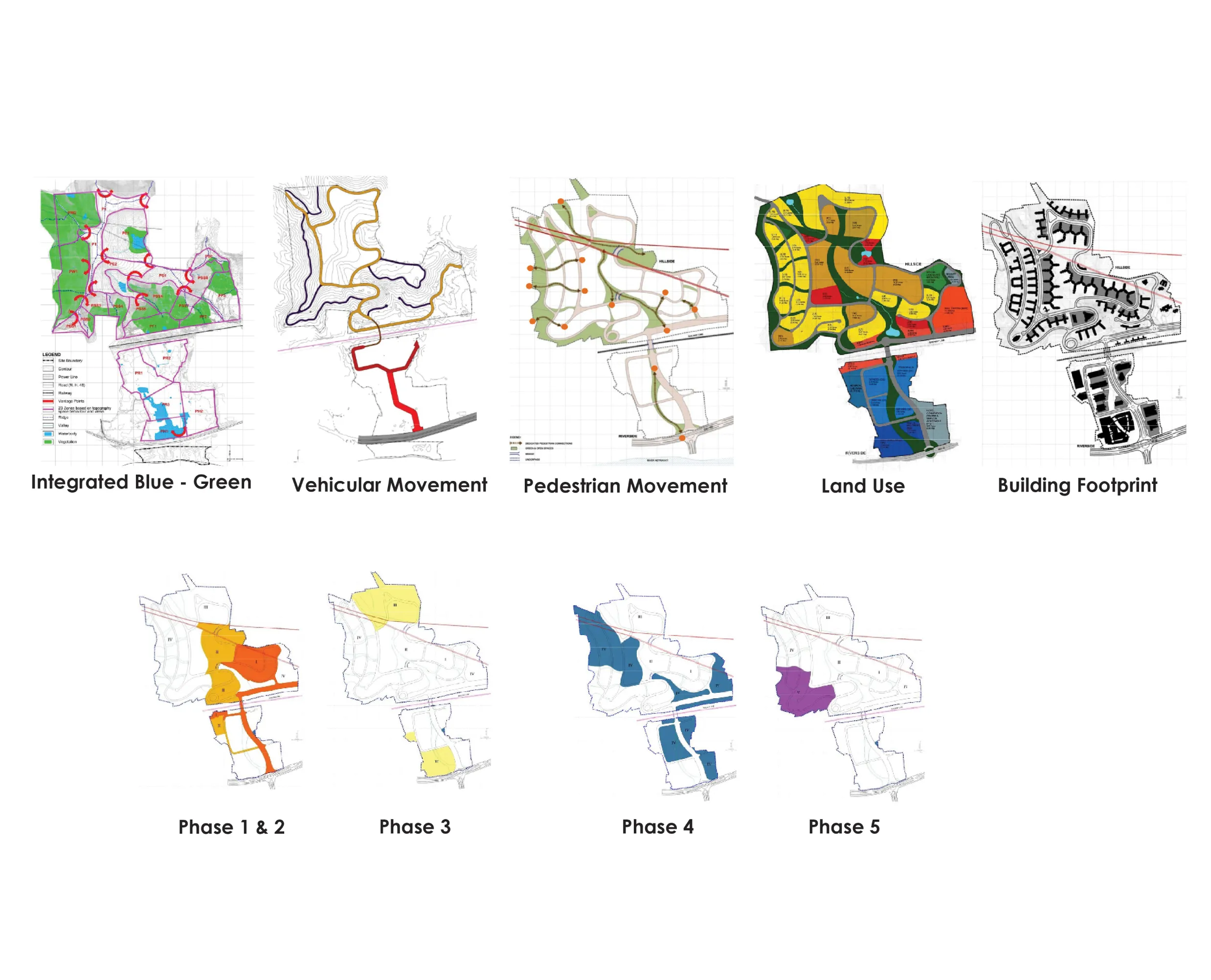
The master plan was informed by the physiographic understanding of the site and a study of factors such as topography, landscape, and ecology, with the main design components responding directly to this. The central spine combines the core green and water bodies of the site. Valleys are conserved, and a network of greens is created that co-exists with the site's topography. The road network is laid based on the contours, and dwelling units are designed accordingly.
All infrastructure services have been designed to take fullest advantage of the cumulative diversities available for an Integrated Township Project of this scale and magnitude of diverse land use.