
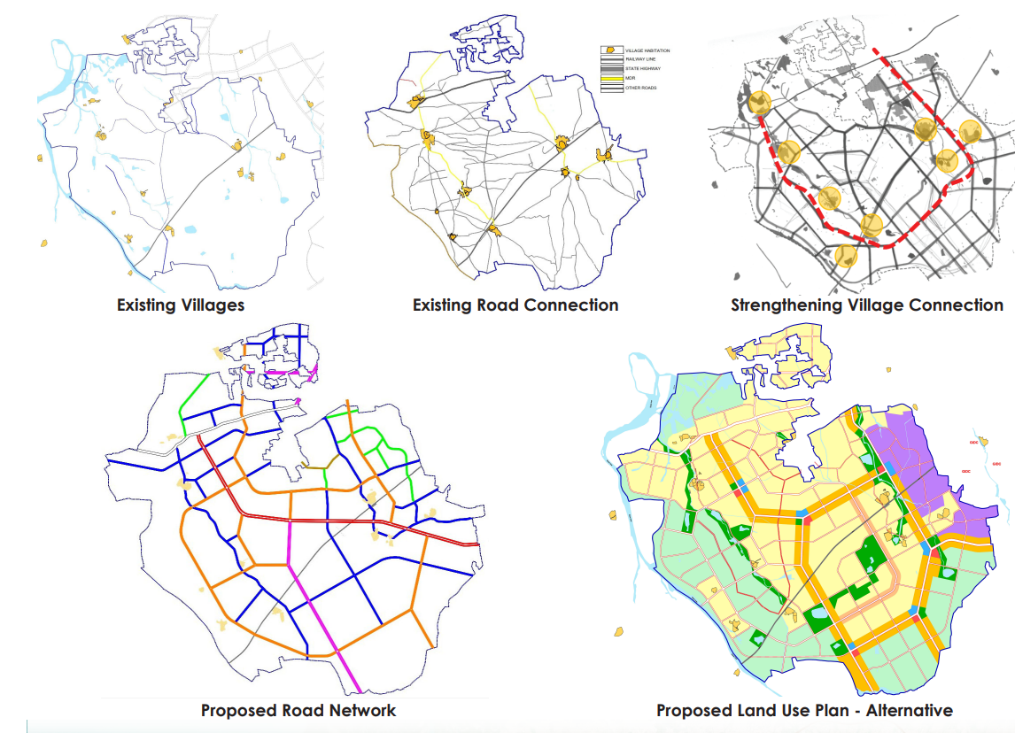
Development Plan, Jamnagar City Extension
Spread over approximately 95 sqkm, the 10 villages of Jamnagar were added in the boundary of Jamnagar Area development Authority (JADA) after the DP of Jamnagar City for year 2031 was already prepared.
Hence, a separate Development Plan of the 10 new villages was to be prepared adjoining the already prepared Development Plan.
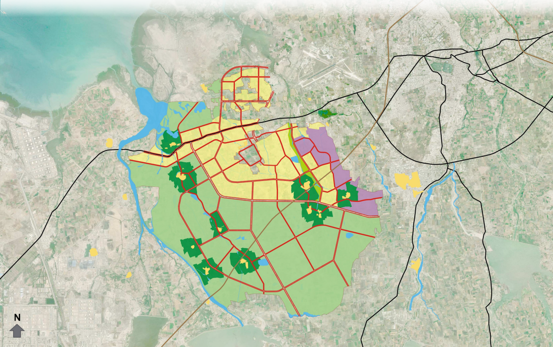
The land use proposal is envisioned to conserve the existing drains and environmentally sensitive areas of the region and also generate enough economic opportunities in the region.
Area and location of different proposed zones have been worked out on the basis of population projection and proximity to existing land use in and around the region.
Master Plan & Infrastructure proposal envisages the city’s economic base around Education & Health infrastructure
The DP zones and the DCR norms were taken from the earlier DP prepared for old JADA area as the DP for 10 new villages shall not have a separate DCR and all the previous regulations shall prevail.
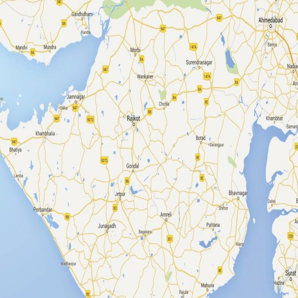
The proposed DP for 10 new villages of JADA, not only addresses the growth and development potentials of the areas but also, conserves precious agriculture land to avoid scattered unplanned development.
The Road network density also decreases as one moves away from the center of the city.
Proposed development plan consists of 9 proposed zones. Almost 37% of total area is proposed under various developable zones, while 51% of area is retained under agriculture zone which can be opened for development after saturation of proposed developable zones.